New Taipei Jinguashi Geopark,Trail offers an unrivaled view of the ocean!
New Taipei Jinguashi Geopark Trail in Ruifang offers unrivaled views of the sea. The Benshan Mine, an early open-pit mine with a large number of stone formations, is a favorite photo stop for many visitors, and in addition to enjoying the special geological features, you can also enjoy a distant view of Keelung Mountain, Chapu Mountain, and other mountainous landscapes.
Table of Contents
Honzan Mine(本山礦場)
You can park your car in the parking lot off Route 102 when you go to the Geopark, but the parking lot in front of the park can only accommodate about 5 cars, and there are observation decks nearby where you can look for parking spaces.
The trees on both sides of the trail near the parking lot are taller, so it is recommended to be prepared for the sun as they are basically exposed to the sun.
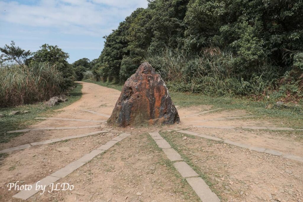
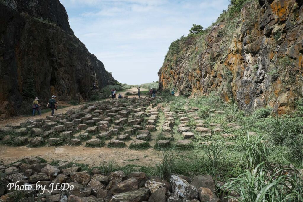
I circled around the park in a clockwise direction (according to google map), and when I got close to the Honzan mine, I first saw this pointy rock below (I didn’t find any signage explaining the purpose of the rock).
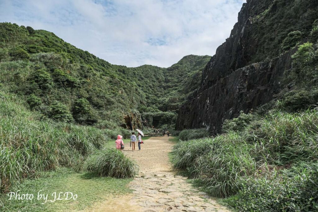
There is no signage for the Honzan mine, but the location is marked on the google map, and when you see the crowd moving towards the valley, it means that you have arrived.
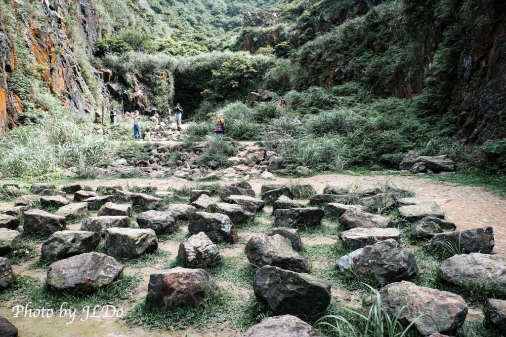
The stones are arranged artificially, and what I find particularly interesting is that each stone is surrounded by small grasses, like a bird’s nest (stone nest).
Newlyweds also take photos here. The colorful stone walls of the mine give the characters a sense of being hidden in the environment when viewed from a distance.
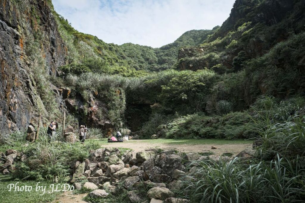
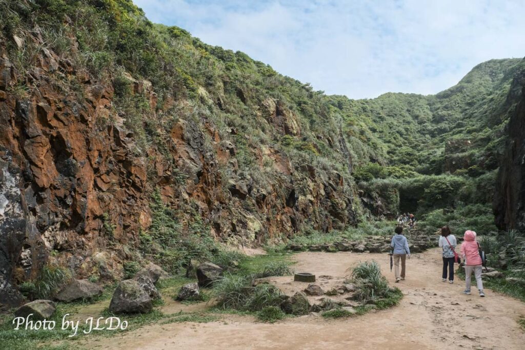
At 2 or 3pm, the valley was more than half in shadow, blocking out the sun and the gusty winds outside, making it much quieter.
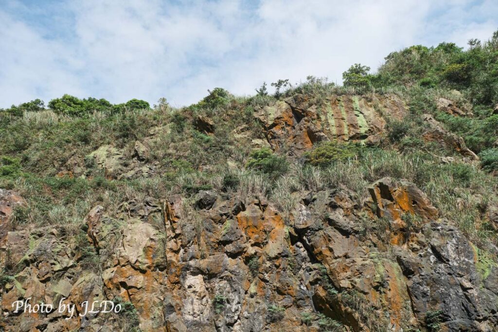
The richness of the veins makes the rock walls colorful.
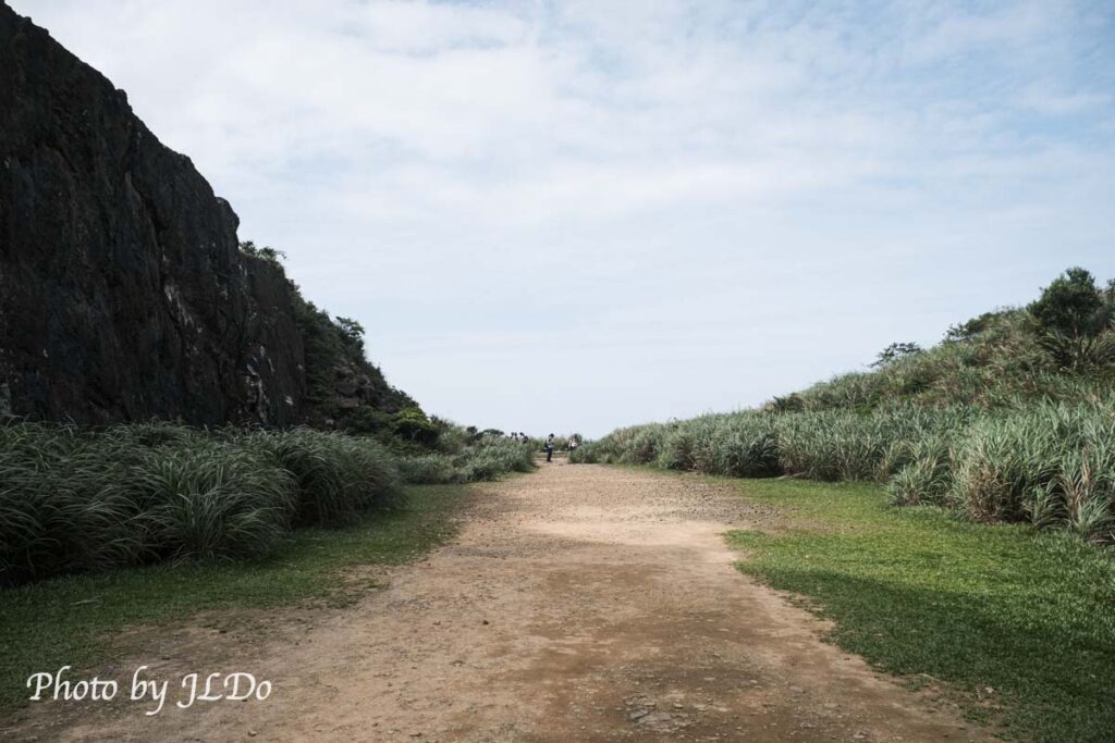
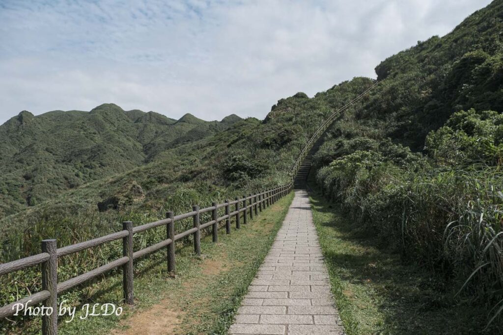
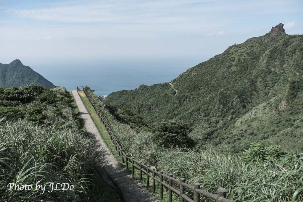
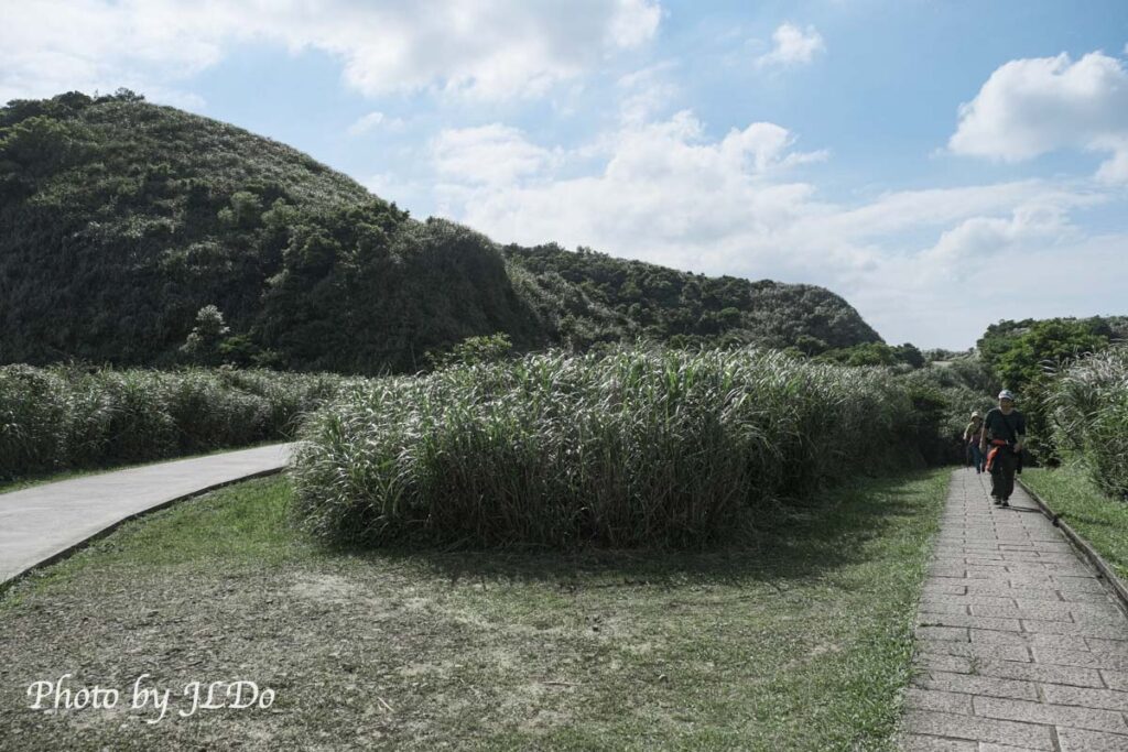
After leaving the valley, you can go to the right hand side to get to the unrivaled sea view trail, and then you will be tested by the sun all the way.
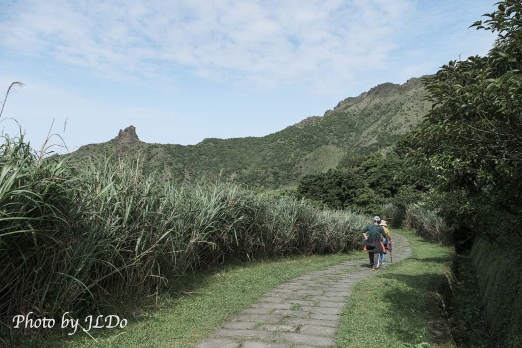
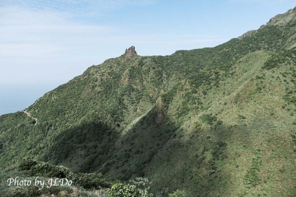
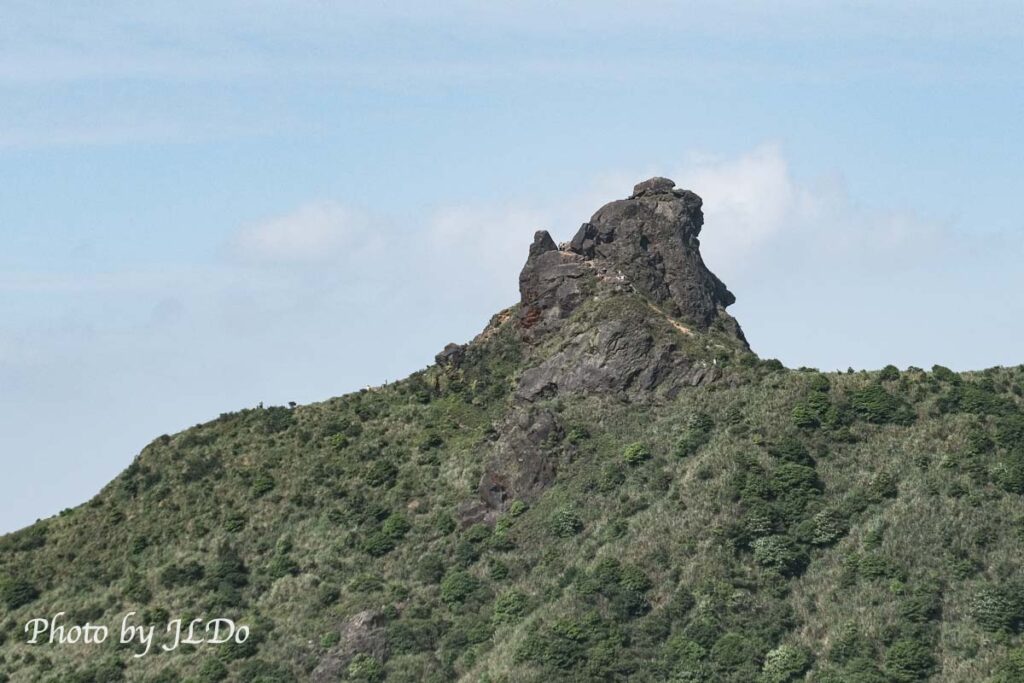
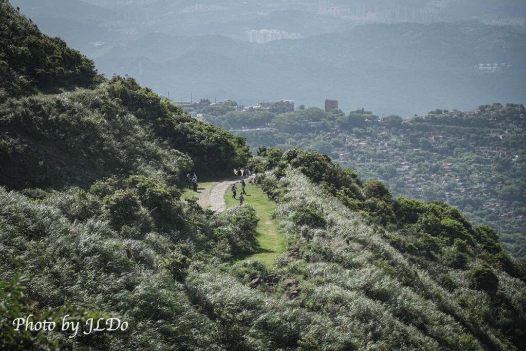
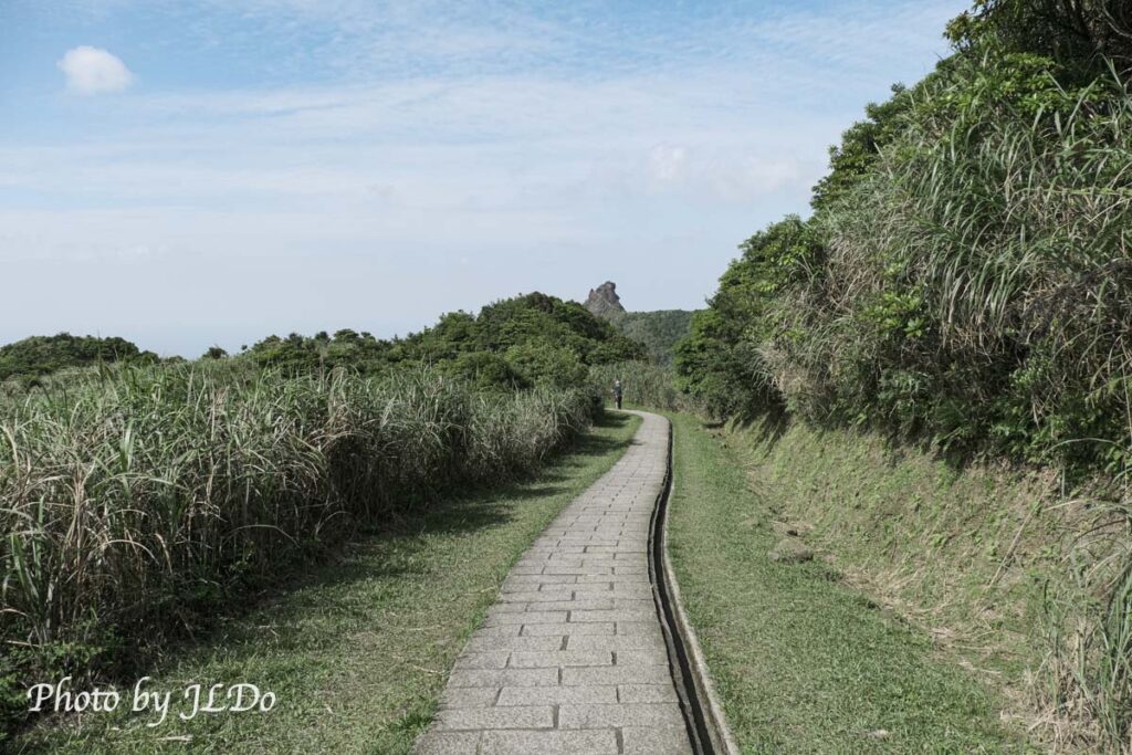
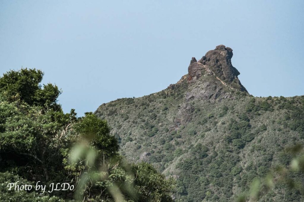
You can often see Chapel Hill on the trail, and when you enlarge the photo, you can see that there are many tourists climbing the hill. That morning, I also climbed Chapel Hill before coming to Jinguashi Geopark.
Ocean View Trail(無敵海景步道)
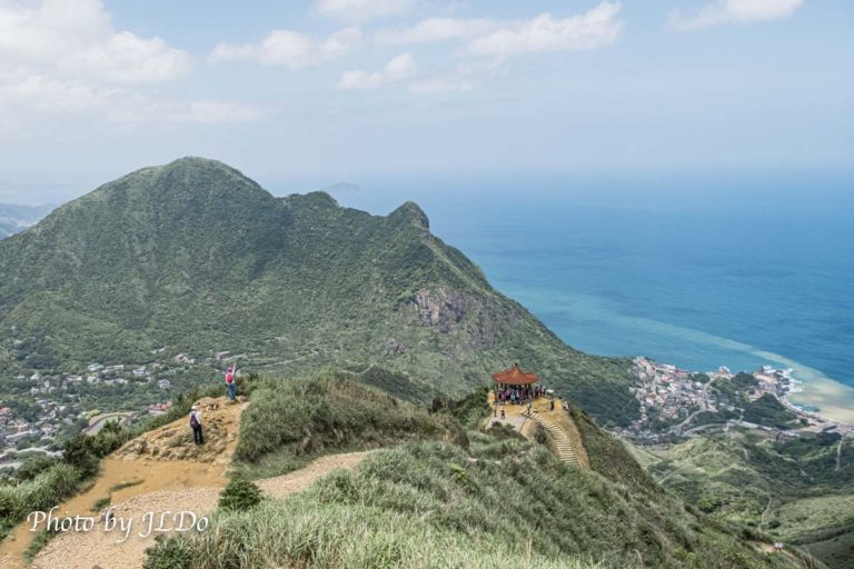
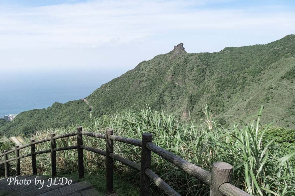
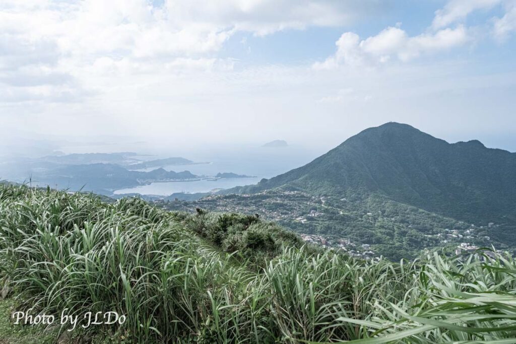
After a short climb, you will be able to stand on this invincible seascape trail, the name of the place on the google map is so called (not my own), if you walk clockwise, you can only see the ocean when you turn back, the left is Keelung Mountain, the right is Chapu Mountain, between the two there is a small piece of earth-colored sea is the Yin Yang Sea.
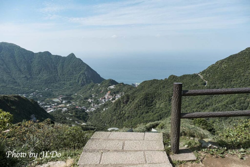
The middle area is Jiufen.
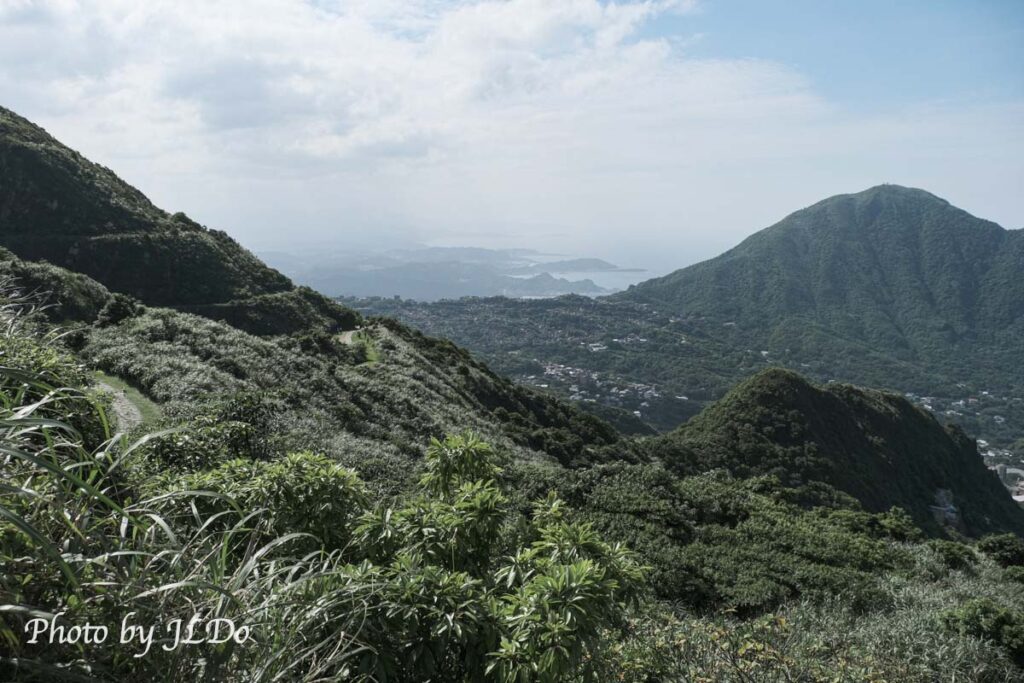
You can also see the entrance to the Honzan Mine, which I just visited, and there are still a lot of tourists taking pictures in front of the mine entrance.
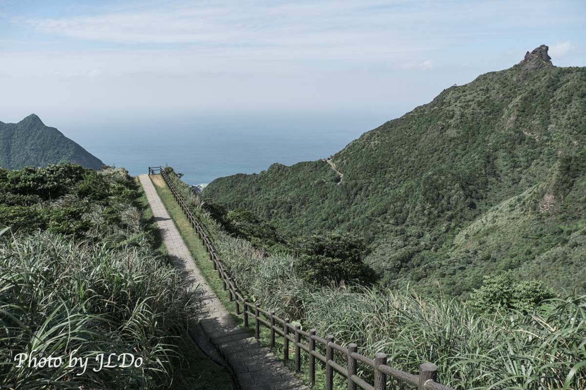
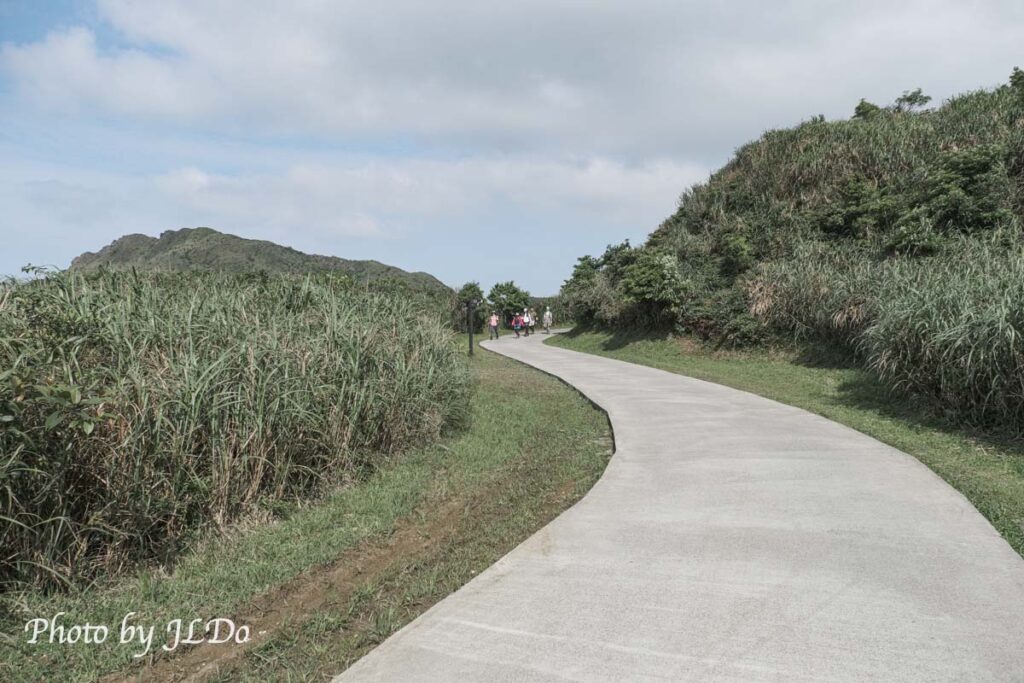
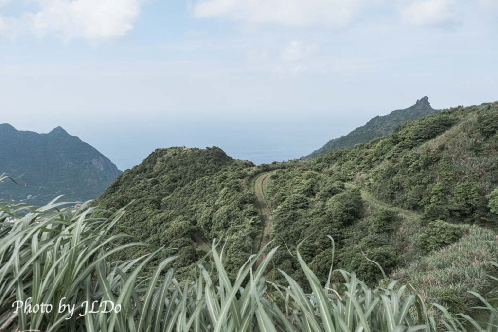
Continuing clockwise, this direction is full of mountain views, slowly approaching 4pm, it’s still cool to walk this kind of unshaded trail at this time.
Climbing up to the middle of the slope makes for a better photo – less messy images of the lower part of the mountain, and more neatly organized bushes and straight trails make for good compositions! This is the closest trail to Chapel Hill in the park, so you don’t need to zoom in to see it.
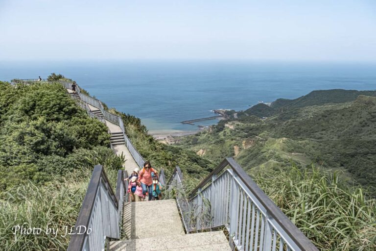
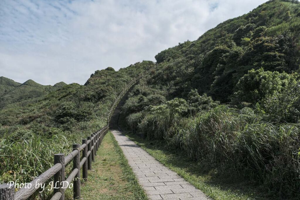
After climbing the last slope and making a turn, you can no longer see the ocean, but the teapot is still in sight. Most of the tourists stayed at the Honzan Mine and didn’t come to take the unrivaled ocean-view trail, which is a bit of a pity – it’s just around the corner.
Geopark Trail(地質公園步道)
The Benzan Mine and the Unrivaled Sea View Trail are both considered areas within the Geopark. I walked clockwise through the area and only made it halfway, and then I had to walk back to the parking lot to make it halfway again, and there are occasional forks in the trail that lead to other parts of the mountain, so be careful not to take a wrong turn.
This one is coming from the direction of Mudan, but I’m not sure which way it will actually go… It’s best to follow the map.
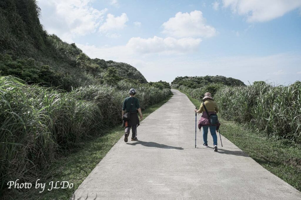
The two old couples in front of me are from Keelung, and they walked all the way here with me on the Seaview Trail. It was their first time to come here, just like me, so they didn’t recognize the road, so I loaded the offline map before the trip, and I asked them to come back to the parking lot with me ~, and the network signal was actually okay, and the google map was good enough.
Keelung Mountain and Keelung Island, after seeing this mountain and seascape, etc., we had to go down, the clouds started to get more and there was a little bit of Jesus’ light in the west.
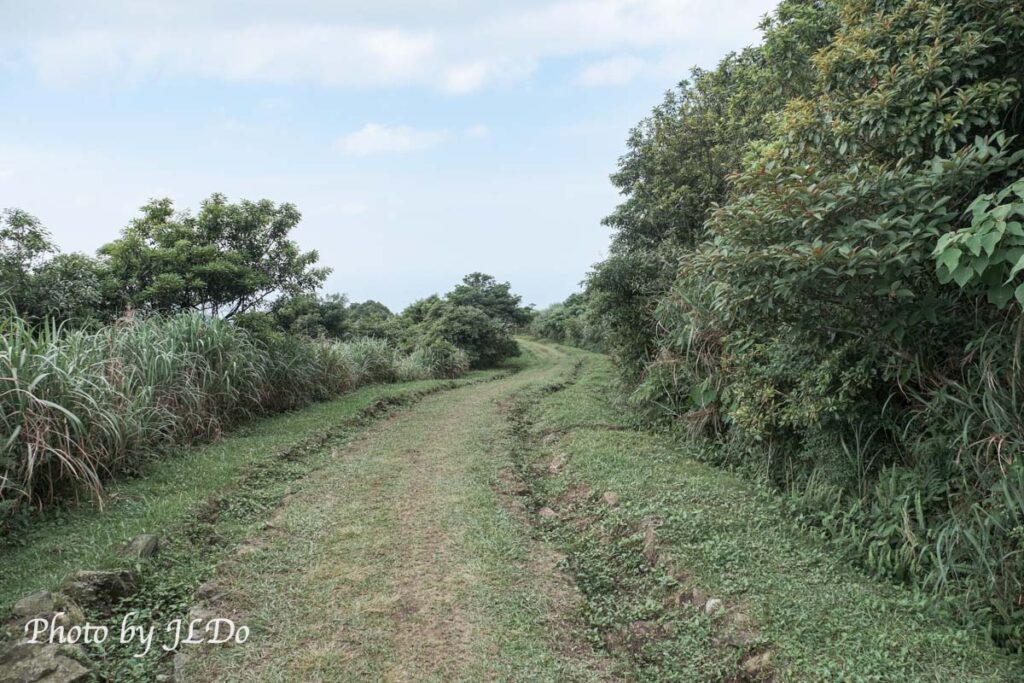
The curved path in the photo is the way down, and then you can’t see the wide view from here, so take a last look at Mt.
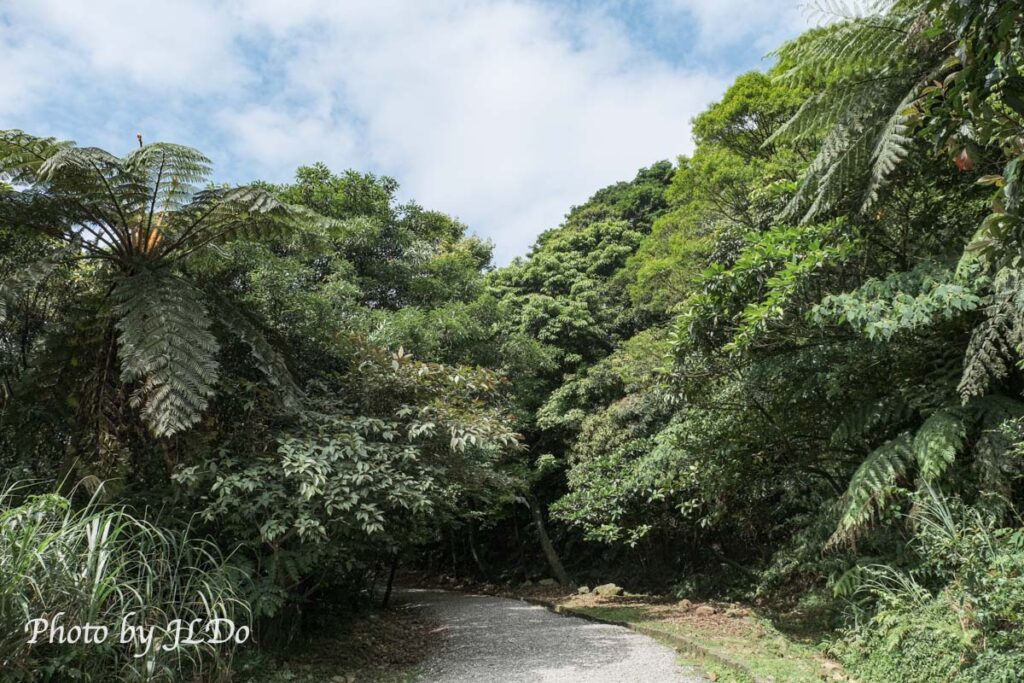
This last section is so scenic that you can’t see the ocean and the trees are getting taller.
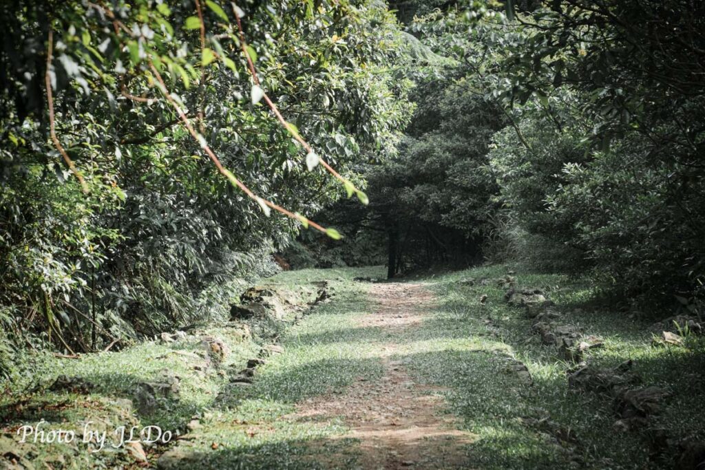
After walking into the forest, you can go back to the parking lot soon. I walked slowly and took photos for about two and a half hours that day (a really long time), but it was much faster without taking photos, because the trail is very easy to walk.
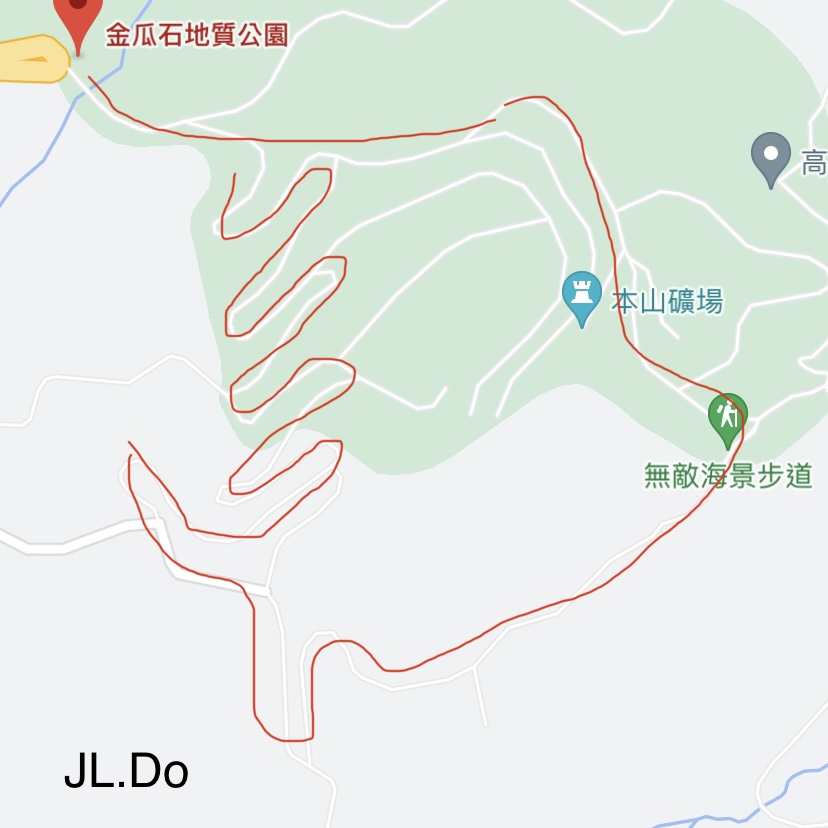
Route Map
I walk around the red line clockwise.
Google Map:
Taiwan car rental

(high speed railway station pick up the car)